
Page 47 - 75 Digital Solutions from NIC
P. 47
Unique Land Parcel
Identification Number
System (ULPIN)
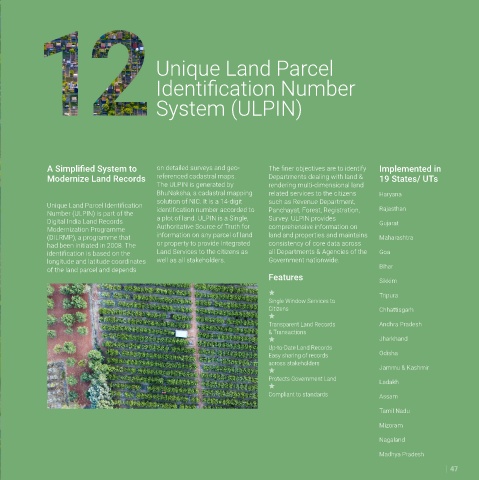
A Simplified System to on detailed surveys and geo- The finer objectives are to identify Implemented in
Modernize Land Records referenced cadastral maps. Departments dealing with land & 19 States/ UTs
The ULPIN is generated by rendering multi-dimensional land
BhuNaksha, a cadastral mapping related services to the citizens Haryana
solution of NIC. It is a 14-digit such as Revenue Department,
Unique Land Parcel Identification Rajasthan
Number (ULPIN) is part of the identification number accorded to Panchayat, Forest, Registration,
Digital India Land Records a plot of land. ULPIN is a Single, Survey. ULPIN provides Gujarat
Modernization Programme Authoritative Source of Truth for comprehensive information on
(DILRMP), a programme that information on any parcel of land land and properties and maintains Maharashtra
had been initiated in 2008. The or property to provide Integrated consistency of core data across
identification is based on the Land Services to the citizens as all Departments & Agencies of the Goa
longitude and latitude coordinates well as all stakeholders. Government nationwide.
of the land parcel and depends Bihar
Features Sikkim
Tripura
Single Window Services to
Citizens Chhattisgarh
Transparent Land Records Andhra Pradesh
& Transactions
Jharkhand
Up-to-Date Land Records
Easy sharing of records Odisha
across stakeholders
Jammu & Kashmir
Protects Government Land
Ladakh
Compliant to standards Assam
Tamil Nadu
Mizoram
Nagaland
Madhya Pradesh
47